|
US Army Aerial Supply Center
(Source:
Raymond Turgeon)
|
|
|
| |
 |
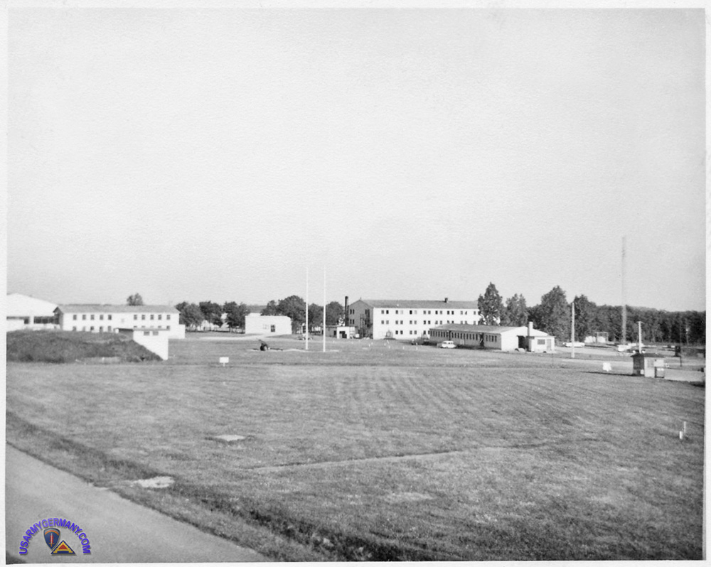
| The two barracks and headquarters (right foreground). The taller building behind the Hqs building was the 557th QM barracks. The orderly room and dining hall were on the first floor. There was a small PX attached to the north end of the barracks. |
| |
 |
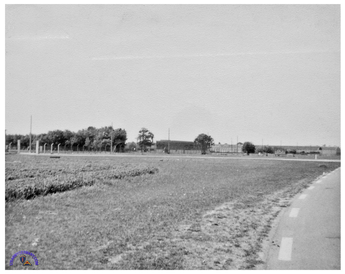
Access road to installation -- View as you approached from St. Andre. There was a sign that also can be seen if you
zoom in but it gets distorted because of the distance and quality of the
photo. I believe that it read: UNITED STATES ARMY AERIAL SUPPORT CENTER.
The photo was taken from the access road off of D53 (Rue de la Croix Prunelle/Rue de Liberation). D53 heads east out of the center of St. Andre. That access road apparently doesn't have a name. I just did a request on map-France.com and it just says that the Aerodrome is just to the right off of D53. The trees seen (far left) are the ones seen in the bottom right of the aerial photo. |
| |
| |

